The Institute of Geodesy and Geoinformatics of the University of Latvia was founded in 1924 and successfully worked until 1944. From the very beginning of the Institute, its main action lines were related to the issues concerning geodesia and design of various geodetic instruments. The Institute was re-established in 1994 and ever since has been successfully working as the leading scientific institute in such scientific and research fields as:
- Satellite geodesy and geoinformatics;
- Development of mounting and control software for satellite laser ranging (SLR) systems;
- Exploration of vertical deflection measurements;
- Development and exploration of gravitational field and quasi-geoid model;
- Exploration of vertical and horizontal earth movements;
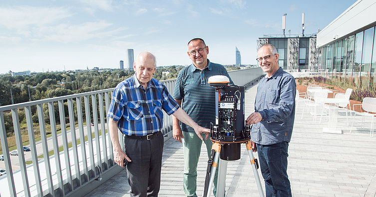
- Development of digital zenith cameras and taking measurements for determination of vertical deflections;
- Support for application of geoinformatics – GIS, spatial analysis and simulation, analysis of long-distance data;
- STATBOX – acquisition of statistical data from video files, its analysis, situation modelling and monitoring.
The Institute has successfully implemented and continues to implement a number of fundamental and applied research projects receiving international funding.
UL GGI currently employs 17 workers, out of which 10 have obtained a doctoral degree in various fields of science (geodesy, geoinformatics, astronomy, physics, geography, electronics). Among the employees of the UL GGI there are 10 leading researchers, 5 researchers and 2 engineers.
Director