Bachelor's programme in Geoinformatics
Level: |
Length: |
Study form: |
Study language: |
Number of credits: |
Place: |
Degree: |
Study fee: |
Amount of spaces: |


The aim of the study program is to prepare highly qualified specialists who are able to compete in both the local and international labour market in various sectors related to geoinformatics.
Tasks of the study program:
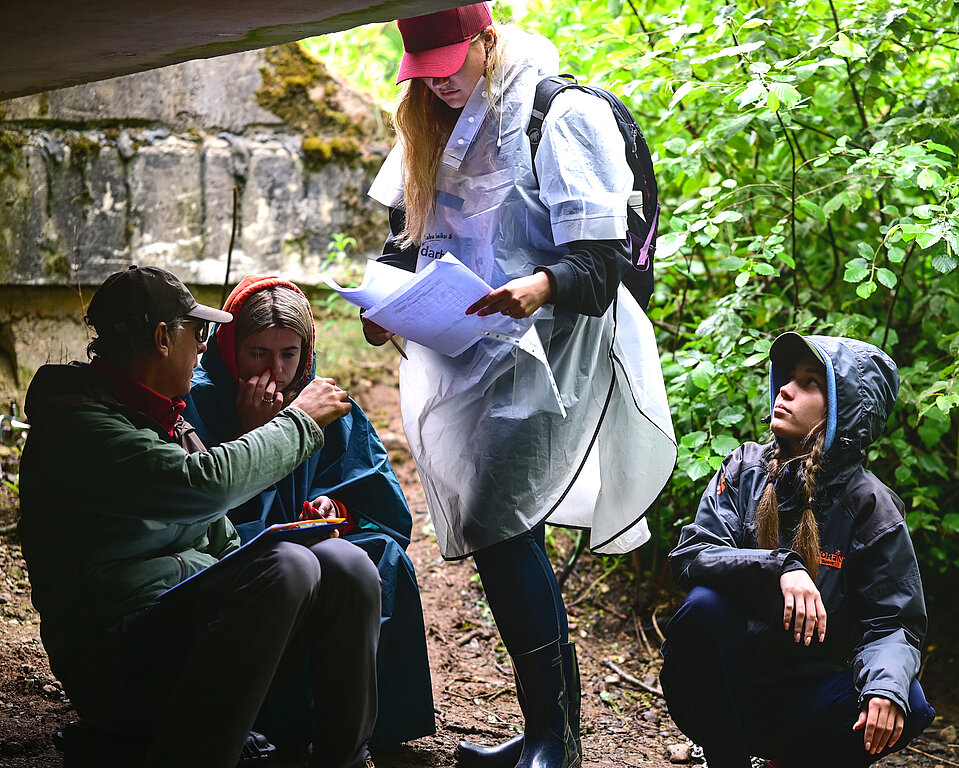
- Provide the opportunity to learn theoretical and practical geoinformatics, as well as basic courses in geography and computer science,
- To provide the opportunity to take in-depth courses conditionally in the specialized direction of geography, geographic information systems or information technology,
- Develop abilities related to critical thinking, analysis and reasoning,
- Develop skills in designing geographic information infrastructure and publishing basic geospatial data,
- Develop the skills to conduct independent research in a selected sub-field of natural sciences and summarize the results in a bachelor's thesis and obtain a professional bachelor's degree in geoinformatics.
Students in the professional bachelor's study program "Geoinformatics" will acquire knowledge, skills and competences corresponding to level 6 of the European Qualifications Framework (EKI).
- Physical geography
- Human geography
- Geographic information systems
- Applied GIS (nature)
- Basics of database and information systems
- Basics of programming in Python
- Fundamentals of software engineering
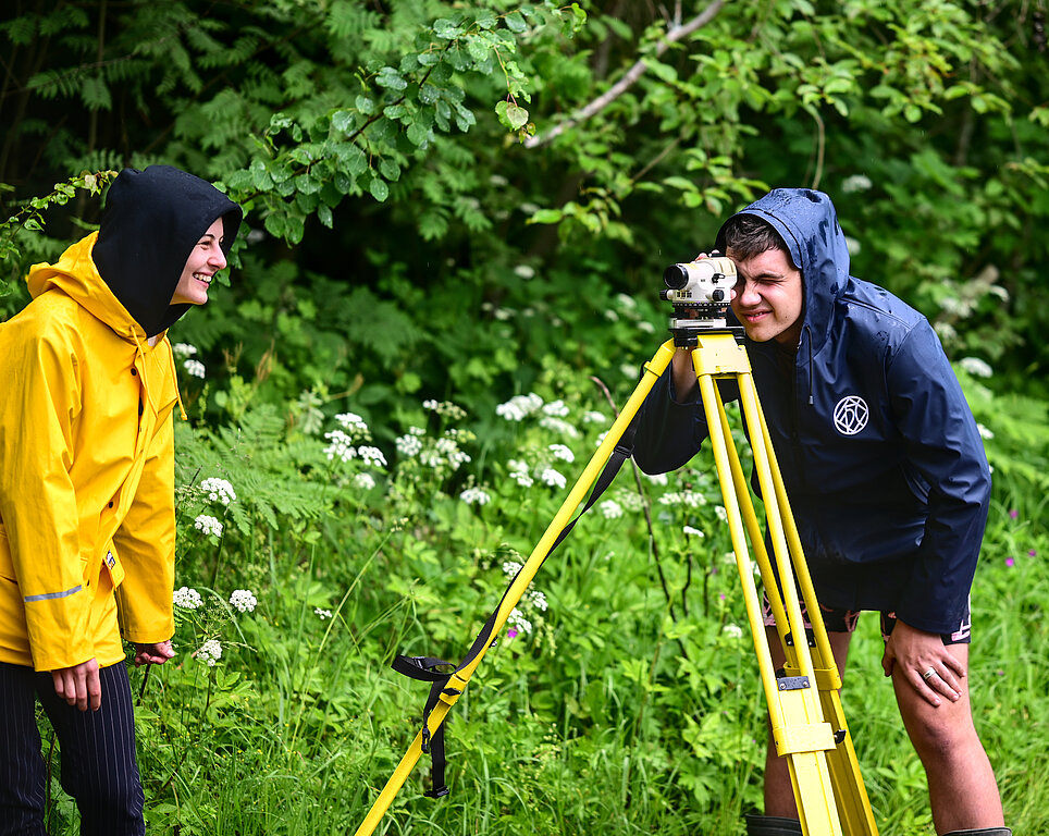
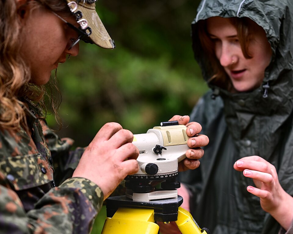
- Digital terrain models, geomorphometry
- The infrastructure of geographic information
- Industry standards and data quality
- Management of spatial databases, etc.
In the country, geoinformatics specialists who can quickly analyze geospatial information, and connect it with the accumulated data of various industries, to publish the analysis results on the global web, thus providing access to information for decision-making, is constantly growing. The necessity is caused by the growing importance of geospatial data in Europe (INSPIRE or Spatial Information Infrastructure in the European Community Directive) along with the conditions and process of implementing the directive.
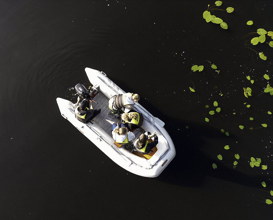
Geoinformation systems also have many different fields of application in Latvia: agriculture, archaeology, environment and its protection, geology, health, land information systems, military, urban and rural development, transport, telecommunications, energy, water resources, natural disasters, oil and natural gas, banking and insurance, business geography, mobile mapping, etc. GIS and remote sensing are suitable for resource management, especially for water, land, soil, vegetation, etc.
The labour market includes both state enterprises and institutions, as well as private companies: Latvian Center for Environment, Geology and Meteorology, Latvian Geospatial Information Agency, JSC "Latvijas valsts meži", Central Statistical Office, State Land Service, Departments of Development and Spatial Development of Latvian Large Cities and Counties , SIA map publisher Jāņas sēta, SIA Envirotech, surveying companies and consulting firms.
You can find out about the admission requirements for the study program by switching to the Latvian version of the website.
zeme@lu.lv
GEOINFORMATICS = LU
DRONES
MAPPING
GEOSPACE
DATA ANALYSIS
PROGRAMMING
INNOVATION
Acting director

YOU COULD ALSO BE INTERESTED IN
Computer Science

Bachelor's study programme
Geography
Bachelor’s study programme
Optometry

Bachelor's study Programme