CONFERENCE
Geodynamics and Geospatial Research 2019
Within the framework of 77th international scientific conference of the University of Latvia, Institute of Geodesy and Geoinformatics are organizing section - Geodynamics and Geospatial research 2019.
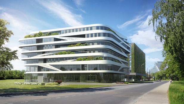
Conference will take place on 21st of March 2019 at the House of sciences of the University of Latvia in conference hall Alfa, located in Jelgavas street 3, Riga, Latvia. MAP
Work language of the conference - English.
Abstracts of the presentations will be published in abstract book, but full text papers will be published in the peer reviewed journal - Baltic Journal of Modern Computing, both papers - Free of Charge. More information about the BJMC you can find HERE
There is no participation fee for the conference and you are kindly invited to register HERE.
Deadline for the speaker registration and submission of the abstract is extended till 25th of February 2019.
Deadline for the participant registration is 8th of March 2019.
Recommended topics but not only for the conference are:
-
Geodynamics and geospatial research;
-
Gravity field, Geoid models and height systems;
-
Astrogeodetic measurements;
-
GNSS and satellite geodesy;
-
Leveling networks;
-
Survey Engineering;
-
Photogrammetry, Remote sensing;
-
Geographical Information Systems (GIS);
-
Unmanned aerial vehicles (UAV);
More detailed information will follow.
First presentations approved by the Conference programm committee
08:30 – 09:00 Arrival, registration |
09:00 – 09:20 Conference opening Vice-rector for Exact Sciences, Life and Medical Sciences of the University Director of the Institute of Geodesy and Geoinformatics V. Segliņš, G. Silabriedis |
09:20 – 09:40 The Latvian digital zenith camera enters regular service (LAT) A. Zariņš, A. Rubans, G. Silabriedis |
09:40 – 09:55 Software development for gravity data processing made by Scintrex CG-6 (LAT) K. Morozova |
09:55 – 10:15 The Use of Robust Estimation to Express Local Quasi-geoid (PLN) Ł. Borowski, M. Banaś |
10:15 – 10:35 The Development of Future Technological Scheme for the Creation of 3D Spatial Model (LAT) A. Celms, V. Puķīte, I. Reķe, A. Veliks |
10:35 – 10:55 Application of Remote Sensing Methods in Research of Nearshore Sandbars (LTU) L. Bevainis, R. Janušaitė, V. Karaliūnas |
10:55 – 11:25 Coffee break |
11:25 – 11:45 Application of UAV aerial images and ground-based precision measurement of Eolian sand dunes (LTU) N. Mačiulevičiūtė-Turlienė, L. Bevainis, A. Česnulevičius, A. Bautrėnas, |
11:45 – 12:00 NAVKA/PREGON-X - LowCost GNSS & GNSS Raw Data and Algorithms for a Robust Multisensor Navigation, Positioning and Georeferencing with Smartphones (GER) J. Diekert |
12:00 – 12:15 NAVKA/PREGON-X - Theoretical and Practical Elaboration & Implementation on a GNSS/MEMS/Optical/Laser based Object Georeferencing with Smartphones (GER) M. Almagboul |
12:15 – 12:30 NAVKA/PREGON-X - Development of Different Hardware Variants for a GNSS/MEMS/Optics/Laser based Positioning & Georeferencing with Smartphones (GER) S. Janugade |
12:30 – 12:45 GNSS measurements on Sea surface (LAT) V. Zeizis, J. Zvirgzds |
12:45 – 13:00 Network RTK services in Estonia (EST) H. Jürgenson |
13:00 – 14:00 Break |
14:00 – 14:15 Orbit type in GNSS clock stability (PLN) K. Maciuk |
14:15 – 14:30 Core site requirements and adjustment for Latvia (LAT) L. Goldbergs, J. Kaminskis |
14:30 – 14:45 SLR station RIGA in 2018 (LAT) K. Salmiņš |
14:45 – 15:05 Velocity analysis of the Latvian CORS Time Series for 2011-2018 (LAT) I. Varna, D. Haritonova, J. Balodis |
15:05 – 15:25 The impact of the Baltic Sea loading on GNSS time series in the territory of Latvia (LAT) D. Haritonova |
15:25 – 15:45 Height quality for GNSS/levelling points and GNSS CORS stations (LAT) J. Balodis, K. Morozova, K. Balodis, G. Silabriedis, I. Mitrofanovs, M. Reiniks |
Coffee, Discussions |
Invitation to the next conference |
Closing |
Photo of the venue